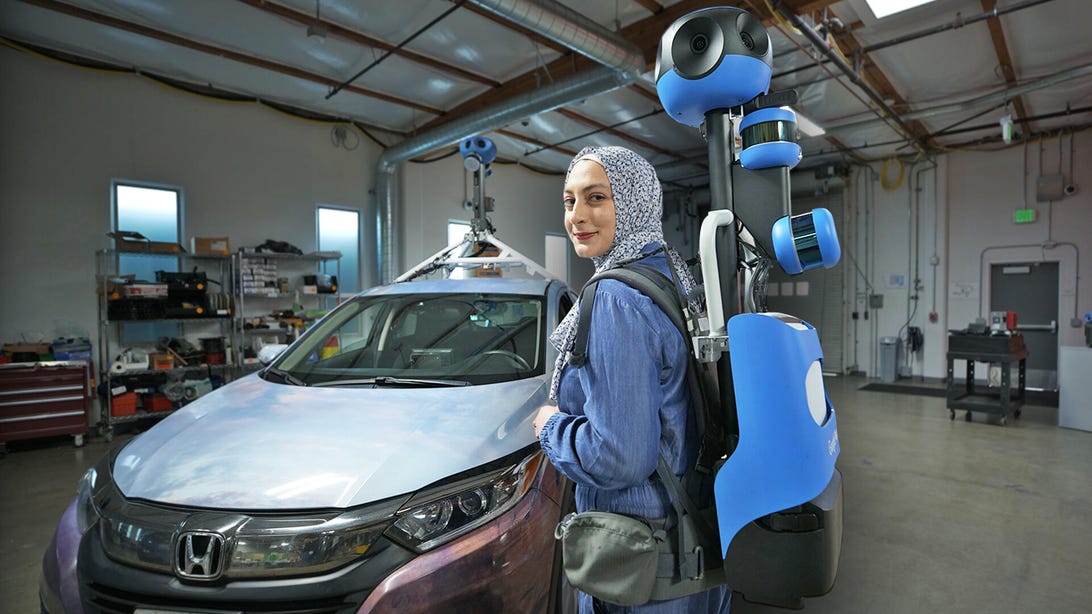
How Google Captures 3D Images for Immersive View video – CNET
We got an exclusive look at the 3D aerial cameras used to build Google Maps’ new Immersive View feature, which shows a realistic view of your route, as well as traffic and weather conditions.